Arizona
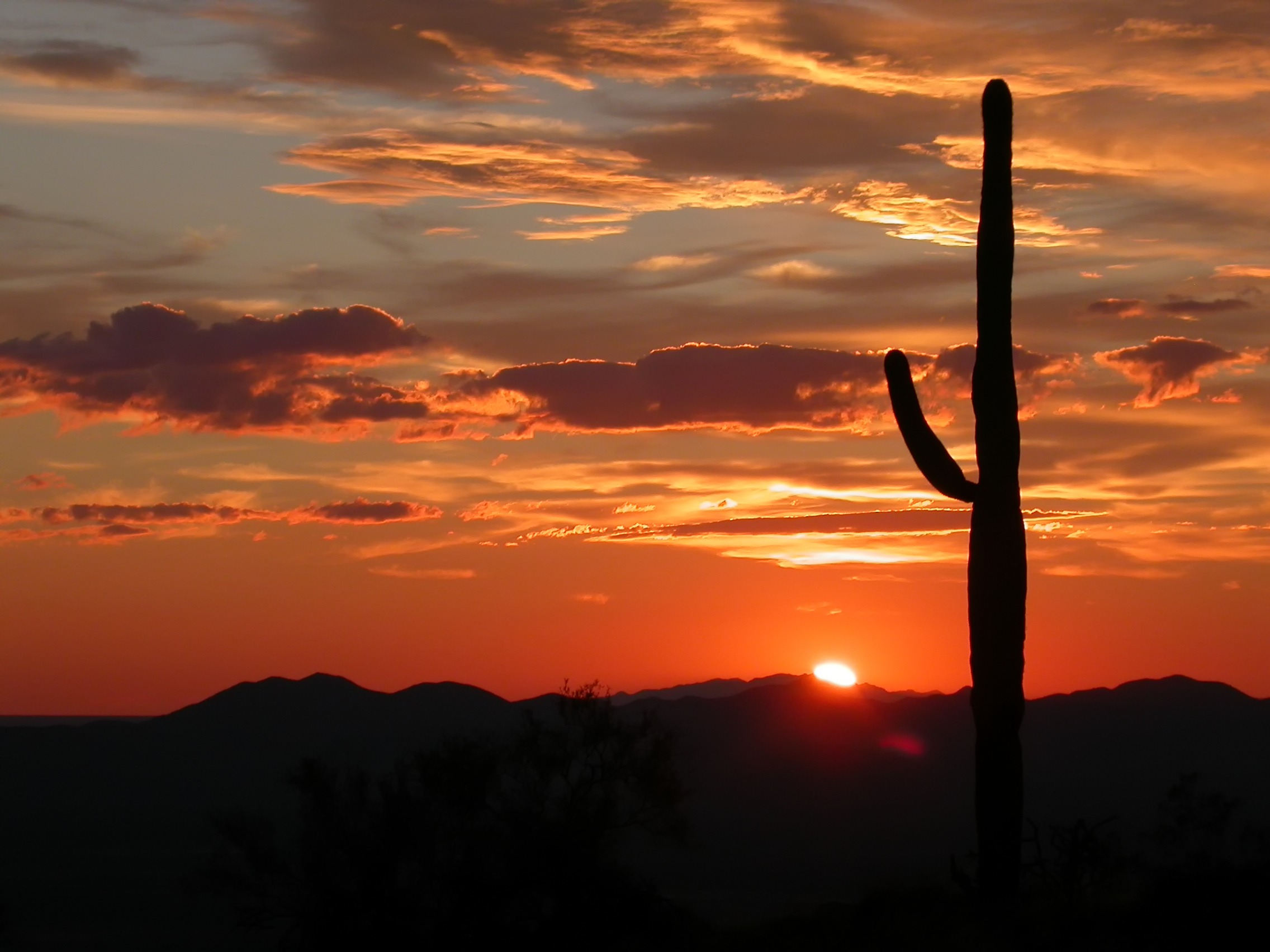
Arizona is a state in the southwestern United States. It is mostly desert, with several forest of douglas and fir trees and has a population of 7.4 million people. It has the largest canyon in the world, the Grand Canyon.
-
Puebloan Native Americans were here around the 1100s. The Spanish showed up in the 1500s. Latter-day Saints came through in the 1800s. Arizona became a state in 1912. Tombstone blew up during the gold and silver rush, and it drew outlaws like Billy the Kid and Doc Holliday. The Gunfight at the O.K. Corral in 1881 made the town famous—basically a shootout between lawmen and cowboys that lasted about half a minute.
- Society: Phoenix, Tucson, and Flagstaff are the three largest cities in Arizona.
- Economy: Mining, Coton Farming, datacenters, and tourism.
Earth Processes Overview
Throughout the term, you will explore how physical geography influences life in Arizona. These pages will be updated weekly with research, visuals, and multimedia elements.
Maps, Location, and Cartographers
Placeholders for map images, GIS layers, and cartography notes.
Plate Tectonics, Earthquakes, and Volcanoes
Tectonic setting, seismicity, and volcanic hazards.
Weathering, Mass Wasting, and Erosion
Rock weathering, slope stability, and erosion patterns.
Fluvial Processes, Oceans, and Coastlines
Rivers, coasts, sediment transport, and ocean dynamics.
Climate Controls, Biomes, and Climate Change
Atmospheric circulation, ecosystems, and observed changes.
Media & Data Placeholders
Chart Placeholder
Insert chart image or embed here
Map/Satellite Placeholder
Insert map or satellite imagery here
Video Placeholder
Embed YouTube or self-recorded clip
Podcast/Link Placeholder
Insert podcast link or document